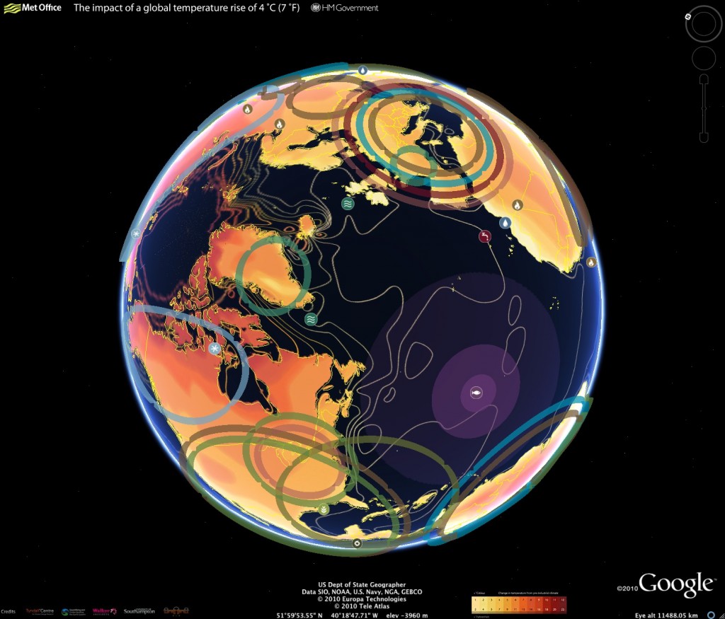
Using Google Earth, the UK Foreign Office (FCO) and the Department of Energy and Climate Change (DECC) have released an interactive climate map that provides insight on the impact of climate change around the world.
The Google Earth map shows how the world would be affected by a global average temperature increase of 4C. It illustrates rising water levels and reduced crop yields in different parts of the world if temperatures are not curbed by cutting greenhouse gases.
The map service is directed at a global audience; it details the work of the scientists working in countries across Asia, Latin America and Africa. It uses Met Office data, and will also feature Foreign Office’s own work on the economics of climate change that it has been doing with the likes of the Asian Development Bank. The map is interactive, allowing you to roam the planet and explore projected impact and view video providing climate scientists and researchers discussing impact details.
